Cordova, North Carolina
Cordova is an unincorporated community and census-designated place in Richmond County, North Carolina, United States.[3] Its population was 1,775 as of the 2010 census. Cordova has a post office with ZIP code 28330.[4][5]
Cordova, North Carolina | |
|---|---|
CDP | |
 Cordova, North Carolina | |
| Coordinates: 34°54′47″N 79°49′19″W | |
| Country | United States |
| State | North Carolina |
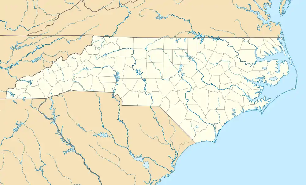
| County | Richmond |
| Area | |
| • Total | 2.150 sq mi (5.57 km2) |
| • Land | 2.129 sq mi (5.51 km2) |
| • Water | 0.021 sq mi (0.05 km2) |
| Elevation | 285 ft (87 m) |
| Population | |
| • Total | 1,775 |
| • Density | 830/sq mi (320/km2) |
| Time zone | UTC-5 (Eastern (EST)) |
| • Summer (DST) | UTC-4 (EDT) |
| ZIP code | 28330 |
| Area codes | 910, 472 |
| GNIS feature ID | 983544[3] |
Cordova is a suburban town of Rockingham.
History
A post office, named Steeles Mill, existed in the area of Cordova as early as 1828. A Cordova post office was established in 1899.[6]
Geography
Cordova is located in southwest Richmond County along the Pee Dee River.[6]
References
- "US Gazetteer files: 2010, 2000, and 1990". United States Census Bureau. 2011-02-12. Retrieved 2011-04-23.
- "U.S. Census website". United States Census Bureau. Retrieved 2011-05-14.
- "Cordova". Geographic Names Information System. United States Geological Survey, United States Department of the Interior.
- United States Postal Service (2012). "USPS - Look Up a ZIP Code". Retrieved 2012-02-15.
- "Postmaster Finder - Post Offices by ZIP Code". United States Postal Service. Retrieved March 6, 2014.
- Powell 1976, p. 120.
Works cited
- Powell, William S. (1976). The North Carolina Gazetteer: A Dictionary of Tar Heel Places. Chapel Hill: The University of North Carolina Press. ISBN 9780807812471.
Municipalities and communities of Richmond County, North Carolina, United States | ||
|---|---|---|
| City | 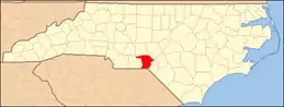 | |
| Towns | ||
| CDPs | ||
| Other communities | ||
This article is issued from Wikipedia. The text is licensed under Creative Commons - Attribution - Sharealike. Additional terms may apply for the media files.