Mitonga Road
Mitonga Road (Japanese: ミロンダかいどう Milonda Highway) is a location in Pokémon Ranger: Guardian Signs.
| ||||||||||||
| ||||||||||||
Connecting locations
| ||||||||||||
Location  Location of Mitonga Road in Oblivia. | ||||||||||||
It is located east of Tilt Village, west of Daybreak Ruins, south of Old Mansion, and southwest of Noir Forest on Mitonga Island.
Pokémon
Layout
| Game | Mitonga Road | ||||
|---|---|---|---|---|---|
| Guardian Signs | 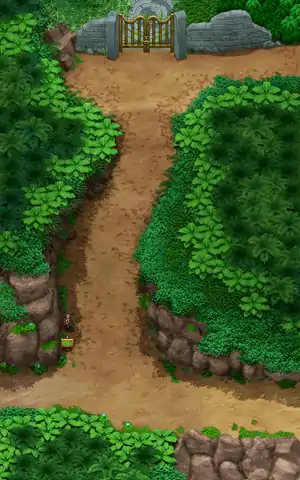 |
 |
 |
 |
 |
In other languages
| ||||||||||||||||||
| This location-related article is a stub. You can help Bulbapedia by expanding it. |
| Oblivia | ||||||
|---|---|---|---|---|---|---|
|
| ||||||
| ||||||
| This article is part of both Project Locations and Project Sidegames, Bulbapedia projects that, together, aim to write comprehensive articles on the Pokémon Locations and Sidegames, respectively. |
This article is issued from Bulbagarden. The text is licensed under Creative Commons - Attribution - Sharealike. Additional terms may apply for the media files.