Güryıldız
Güryıldız is a belde (town) in the central district (Tokat) of Tokat Province, Turkey. At 40°21′N 36°21′E it is situated to the south of Black Sea Mountains and to the west of Tokat. The distance to Tokat is 23 kilometres (14 mi). The population of Güryıldız is 2083 [1] as of 2011. The settlement was founded by Ahıska Turks from east. In 1999 it was declared a seat of township. Tomato and grape are the main crops of the town.[2]
Güryıldız | |
|---|---|
Town | |
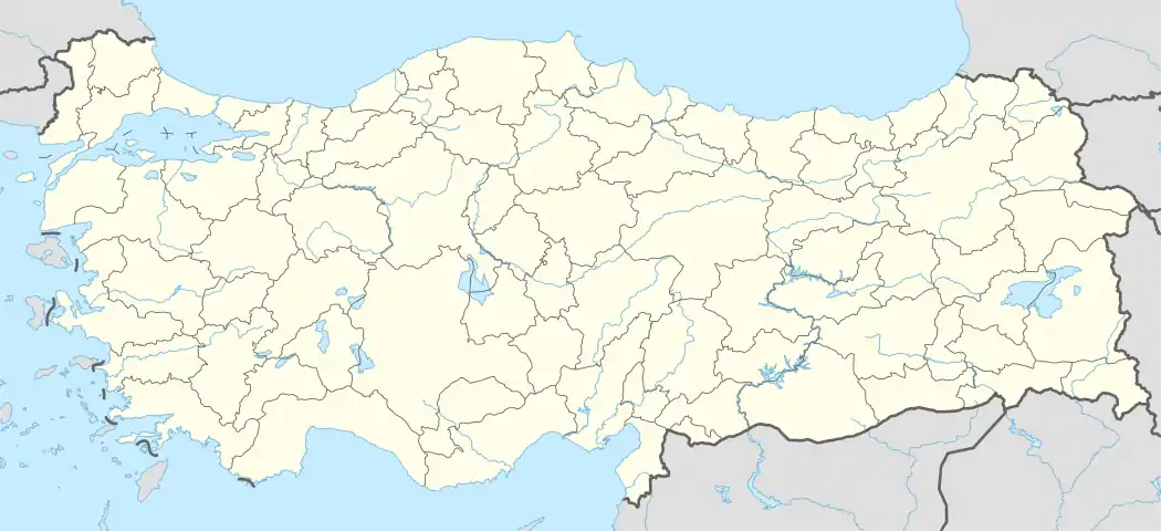 Güryıldız Location in Turkey | |
| Coordinates: 40°21′N 36°21′E | |
| Country | |
| Province | Tokat Province |
| District | Tokat central district |
| Elevation | 710 m (2,330 ft) |
| Population (2011) | |
| • Total | 2,083 |
| Time zone | UTC+2 (EET) |
| • Summer (DST) | UTC+3 (EEST) |
| Postal code | 60240 |
| Area code | 0356 |
| Licence plate | 60 |
References
- "Statistical Institute". Archived from the original on 2013-10-29. Retrieved 2012-06-16.
- Mayor's page (in Turkish)
This article is issued from Wikipedia. The text is licensed under Creative Commons - Attribution - Sharealike. Additional terms may apply for the media files.